
Floodplan Maps
Floods occur naturally and can happen almost anywhere. They may not even be near a body of water, although river and coastal flooding are two of the most common types. Heavy rains, poor drainage, and even nearby construction projects can put you at risk for flood damage.
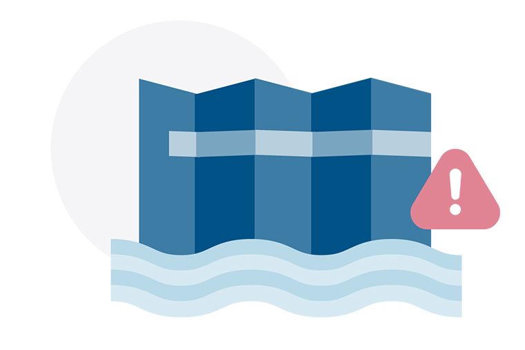
Flood maps are one tool that communities use to know which areas have the highest risk of flooding. FEMA maintains and updates data through flood maps and risk assessments.
Floods are unpredictable. Because flood risk is always changing, communities use tools to understand their risk and take actions to protect their families, homes and businesses.
Floods don’t follow city limits or property lines. Using a flood map, you can see the relationship between your property and the areas with the highest risk of flooding. There is no such thing as a “no-risk zone,” but some areas have a lower or moderate risk.
Copyright © 2025 Prestige Flood Mitigation. All Rights Are Reserved.